|
| Title: |
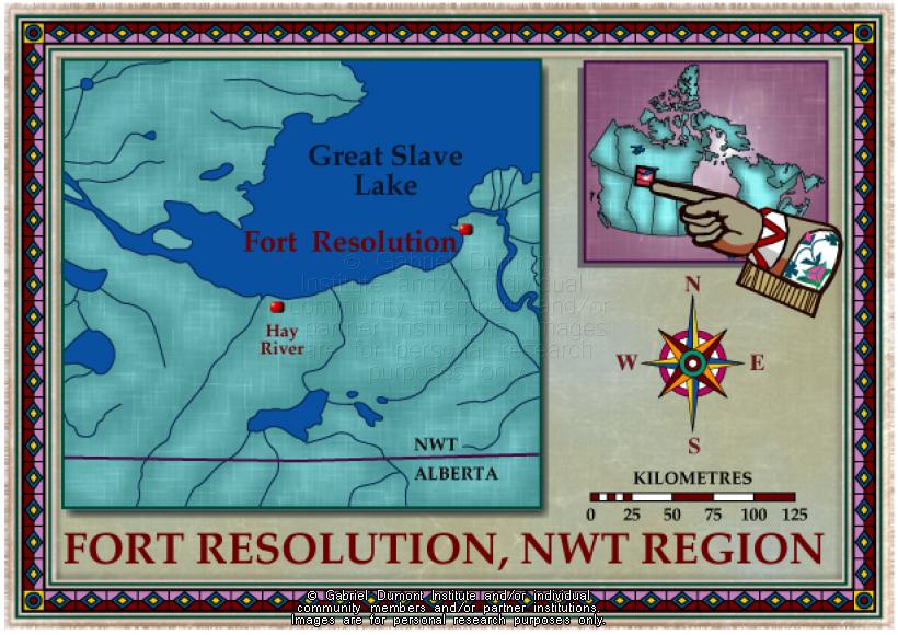
Northwest Territories, Fort Resolution |
| Creator: |
Gabriel Dumont Institute |
| Subject: |
Geography, Maps |
| Description: |
This map indicates the location of Fort Resolution, Northwest Territories, one of many Métis communities located on Great Slave Lake. The map was originally produced by the Gabriel Dumont Institute for the CD-ROM, "The Metis: Our People, Our Story". |
| Publisher: |
Gabriel Dumont Institute |
| Type: |
Image |
| Format: |
image/jpeg |
| Language: |
English |
| Date of Copyright: |
May 30, 2003 |
| Coverage: |
Fort Resolution, Northwest Terrritories |
| GDI Media Location: |
GDI Images Disk Oct 2/2002 |
| GDI Media Filename: |
gdi_m037.jpg |